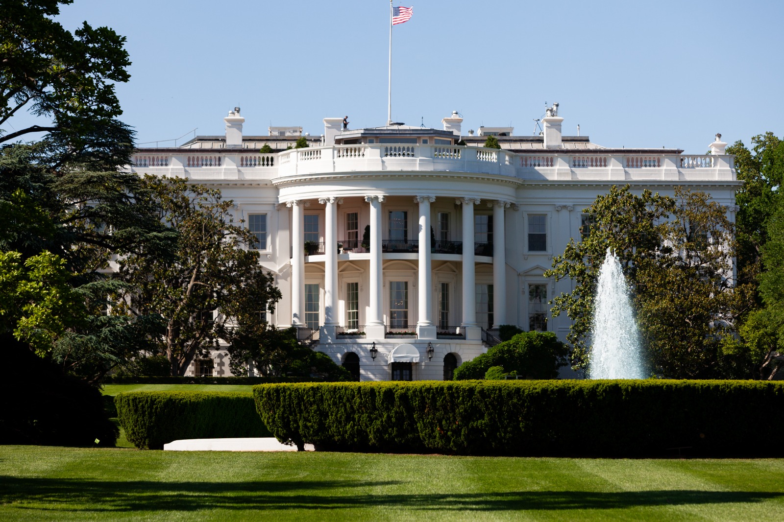
Trump Posts Graphic Adding Strait of Hormuz to List of U.S. Territories
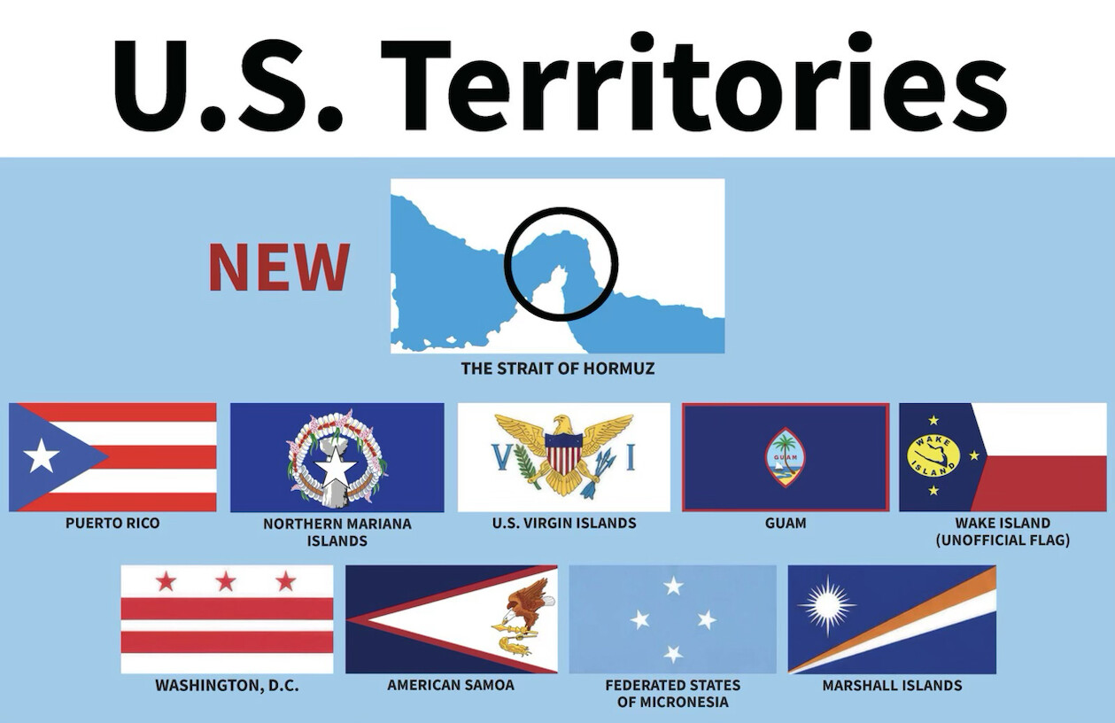
Trump shares a satirical infographic labeling the Strait of Hormuz as a “NEW” U.S. territory alongside Puerto Rico, Guam and other holdings.

WASHINGTON D.C. — Donald Trump posted a satirical infographic that lists the Strait of Hormuz as a “NEW” addition to a lineup of U.S. territories.
The graphic carries the title “U.S. Territories” and places a map of the Strait of Hormuz, marked with a red “NEW” label, above rows of flags. The featured item highlights the narrow waterway with a black circle. The image identifies it as a chokepoint rather than any recognized American holding.
Here is the full post on truthsocial: “U.S. Territories NEW THE STRAIT OF HORMUZ PUERTO RICO NORTHERN MARIANA U.S. VIRGIN ISLANDS GUAM ISLANDS LAN WAKE ISLAND (UNOFFICIAL FLAG) WASHINGTON, D.C. AMERICAN SAMOA FEDERATED STATES OF MICRONESIA MARSHALL ISLANDS” on August 27, 2026 at 10:17 PM ET.
This is Trump’s 28th message released today, and the last post was 52 minutes ago, and it is not part of a thread. On average, Trump produces 18 posts per day since his inauguration on January 20, 2025. The move fits a broader pattern in Trump’s recent messaging, with 63 of his 600 posts over the last 30 days classified as Foreign Policy posts.

A graphic titled "U.S. Territories" displays a map of the Strait of Hormuz marked "NEW" alongside a list of U.S.
© copyright Zenger.News
The rows of flags below the map name Puerto Rico, the Northern Mariana Islands, the U.S. Virgin Islands, Guam, Wake Island, Washington, D.C., American Samoa, the Federated States of Micronesia and the Marshall Islands. Wake Island appears with a label noting an unofficial flag.
The graphic presents the Strait of Hormuz as an entry in the list, distinct from the actual territories and the federal district shown alongside it. The waterway sits between Iran and Oman and is not a U.S. holding. The post carries no additional caption text beyond the words on the image.
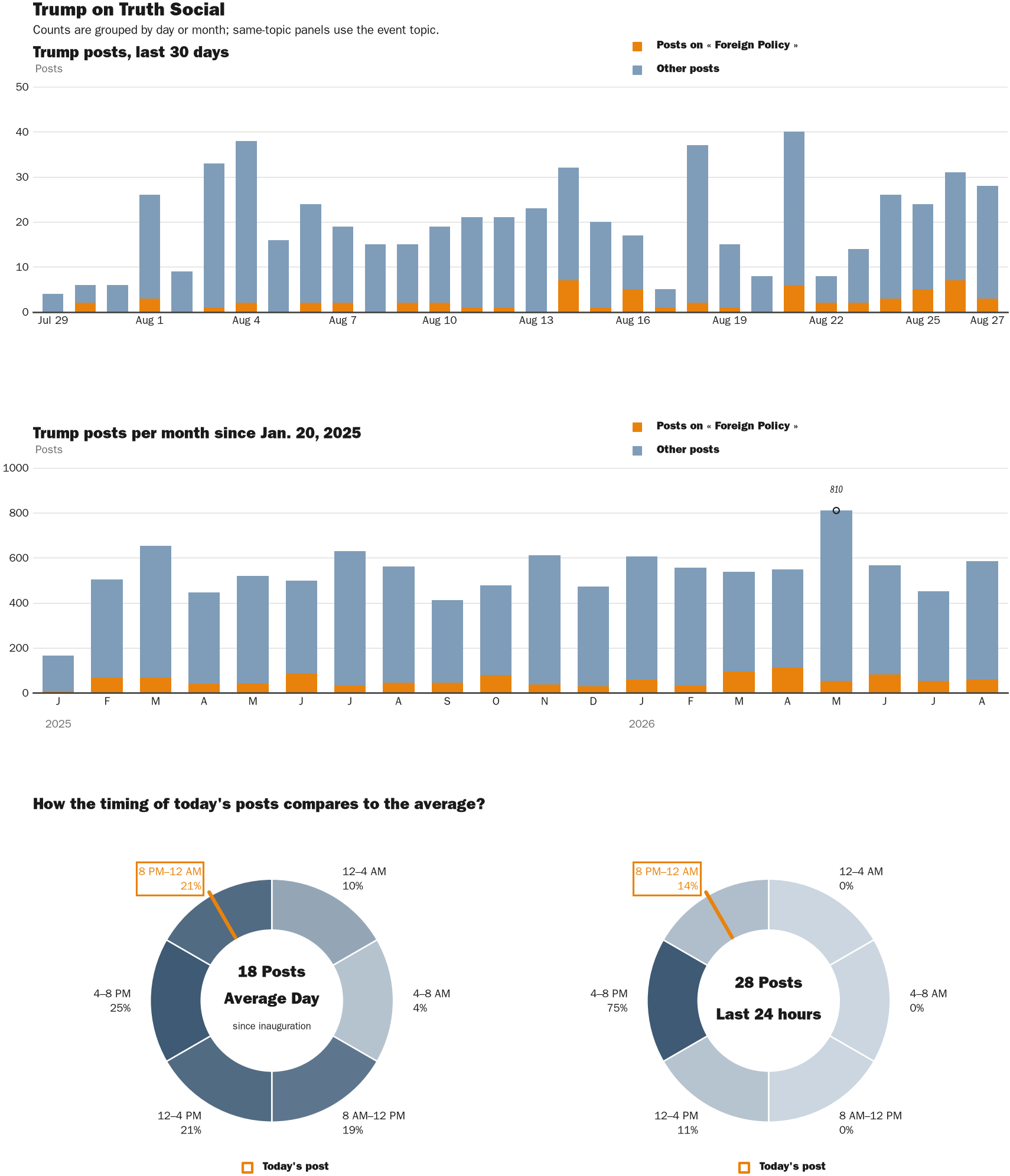
NewsFindr Chart Maker
Photo by Zenger real-time database of all Truth Social posts.
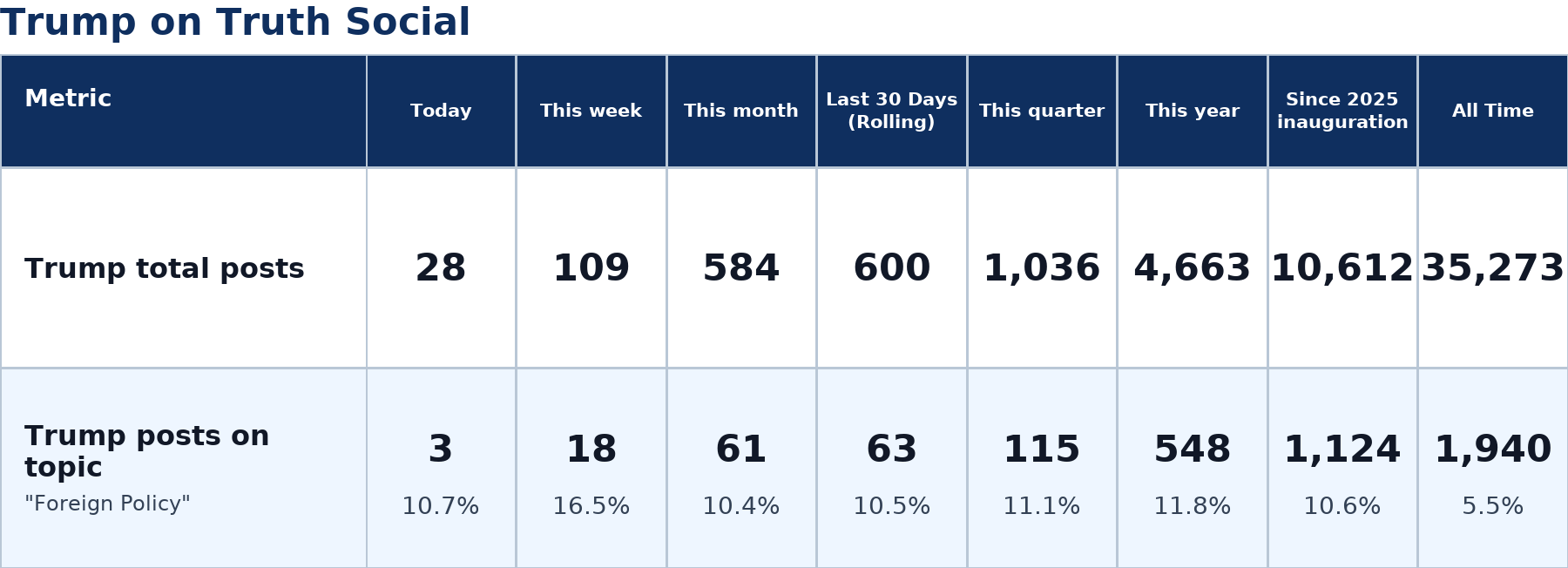
Zenger analysis
Photo by Zenger analysis
Protomaps / Natural Earth – Puerto Rico
Protomaps / Natural Earth – Guam
Photo by Protomaps / Natural Earth – Guam
Protomaps / Natural Earth – American Samoa
Protomaps / Natural Earth – Samoa
Photo by Protomaps / Natural Earth – Samoa
Protomaps / Natural Earth – Federated States Of Micronesia
Photo by Protomaps / Natural Earth – Federated States Of Micronesia
Protomaps / Natural Earth – Marshall Islands
Protomaps / Natural Earth – Northern Mariana Islands
Photo by Protomaps / Natural Earth – Northern Mariana Islands
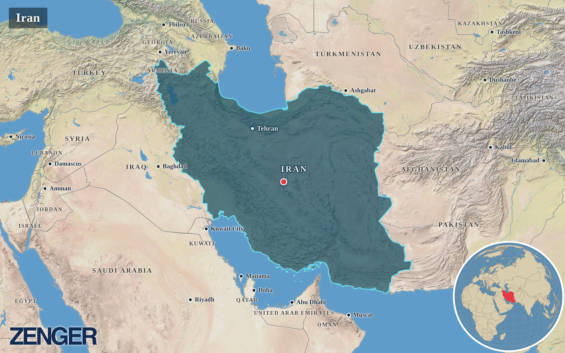
Protomaps / Natural Earth – Iran
Photo by Protomaps / Natural Earth – Iran
Protomaps / Natural Earth – Oman
Photo by Protomaps / Natural Earth – Oman
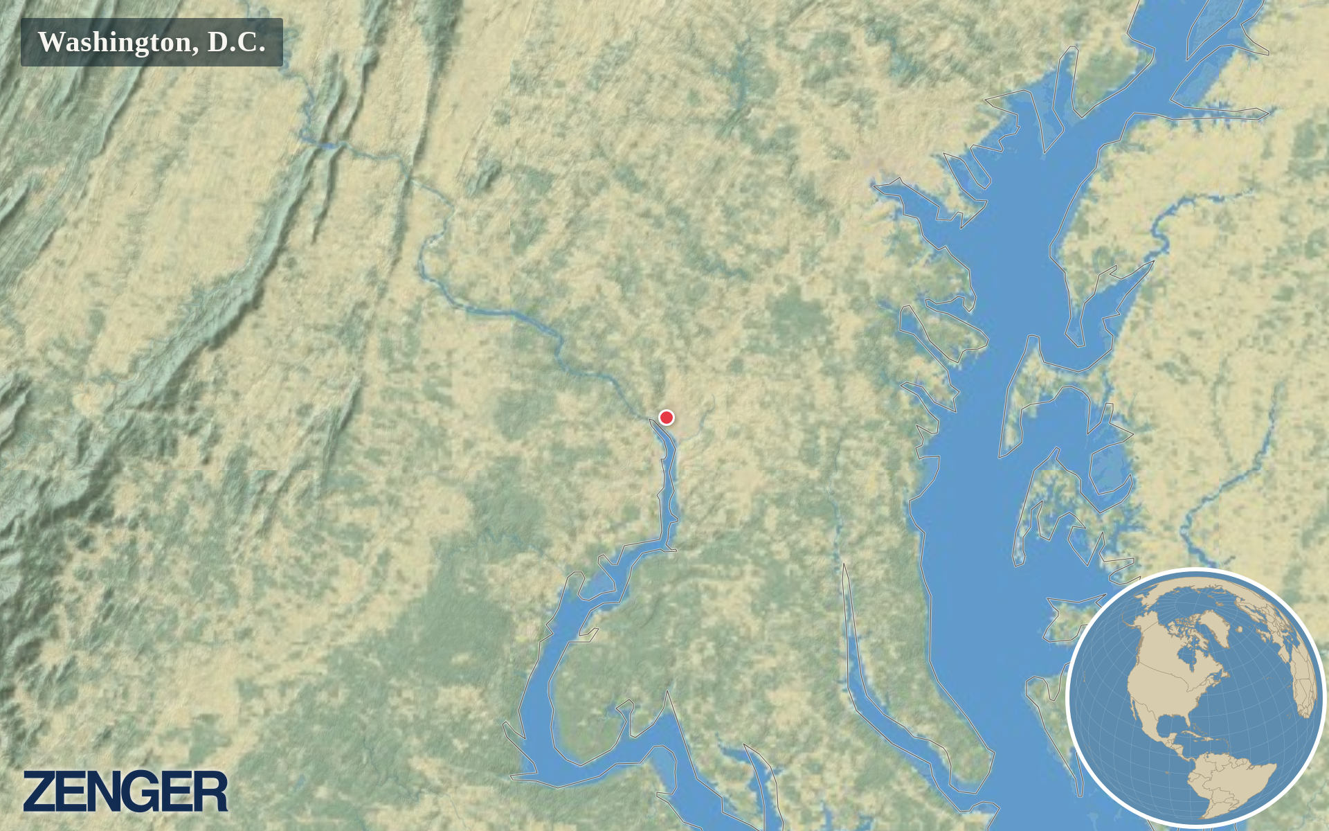
Protomaps / Natural Earth – Washington, D.C.